BPSC TRE 4.0 · Module 20 · standard depth · 14 min
Human settlements and urbanisation
What BPSC TRE 4.0 asks from this chapter
Syllabus lines this chapter covers:
Class 6 to 8 teacher · Part II, General Studies: elementary mathematics, general awareness, general science, Indian National Movement and geography (SCERT-based, at the level of the minimum qualification).
Class 9 to 10 teacher · Part II, General Studies: elementary mathematics, general awareness, general science, Indian National Movement and geography (SCERT-based, at the level of the minimum qualification).
Class 9 to 10 teacher · Part III subject: Social Science (history or geography, then geography, economics or political science).
Class 11 to 12 teacher · Part II, General Studies: elementary mathematics, general awareness, general science, Indian National Movement and geography (SCERT-based, at the level of the minimum qualification).
Class 11 to 12 teacher · Part III subject: History, Political Science, Geography, Economics, Sociology, Psychology or Philosophy.
BPSC TRE 4.0 questions from this module are being sorted into our bank.
Cut to standard depth for BPSC TRE 4.0. 11 deeper paragraphs are in the full chapter.
Start from zero: what is a settlement?
Every person needs a place to live. When a few families build houses close to one another, near water and fields, a settlement is born. A settlement is any cluster of dwellings where people live, from a group of five huts in a forest to a city of two crore people.
Rural and urban settlements
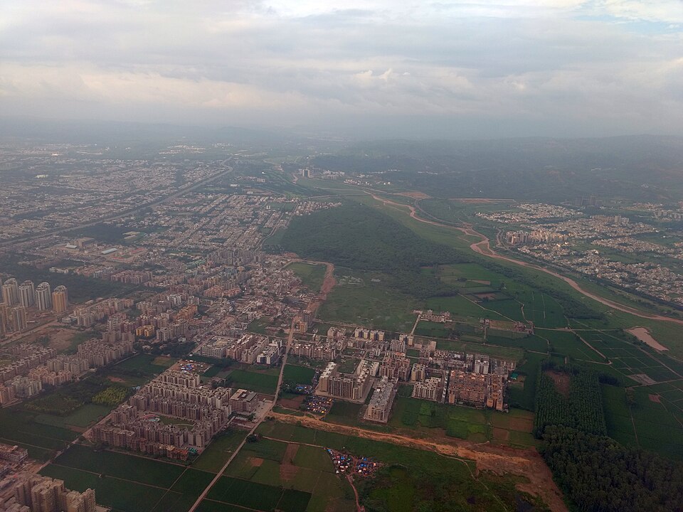
Geographers divide settlements into rural and urban. Rural settlements, villages and hamlets, depend mainly on primary activities such as farming, herding, fishing and forestry. Urban settlements, towns and cities, depend mainly on secondary and tertiary activities such as manufacturing, trade, transport, administration and services.
Rural and urban places also differ in size, density and way of life. Villages are smaller, and people usually know one another and share common social ties. Cities are larger and denser, with people of many backgrounds who meet mainly through work and markets.
The two are linked. Villages supply food, raw materials and workers to towns, and towns supply goods, services, jobs and ideas to villages.
Why it matters. Where and how people settle decides how services such as schools, roads and hospitals can reach them. Settlement study is the base of rural and urban planning.
Types of rural settlement in India
Rural settlements in India come in four main types. A clustered or compact settlement has houses built close together, often around a pond, temple or well, with fields outside. Such villages are common in the fertile northern plains and in parts of the north-east and central India, where good land is precious and people group together for security and shared work.
Four types of rural settlement
A semi-clustered or fragmented settlement has a compact core with a separate quarter some distance away. It may form when a dominant group occupies the centre and other groups, often landless workers or lower castes, live on the edge. Such villages are common in the Gujarat plains and parts of Rajasthan.
A hamleted settlement is broken into several small units, called hamlets, which share one village name. Local names for such hamlets include panna, para, palli, nagla and dhani. They are common in the middle and lower Ganga plain, Chhattisgarh and the lower Himalayan valleys, often because of social divisions or scattered patches of good land.
Where each type of rural settlement is common
A dispersed or isolated settlement has single houses or tiny groups scattered over a large area. It is found in hilly and forested areas and in places with small, scattered farmland, such as parts of Meghalaya, Uttarakhand, Himachal Pradesh and Kerala. In Kerala, houses are spread along the coast and backwaters, each among its own coconut and spice gardens.
Why it matters. The type of settlement affects how easily water, roads, power and schools can reach people. Dispersed hamlets are the hardest and costliest to serve.
Sites, shapes and the growth of settlements
The site of a settlement is the actual ground on which it stands. Early people chose sites with water, such as a river bank, spring or lake, along with fertile land, safety from floods and enemies, and building materials. Wet-point sites, defensive hilltops and river crossings all gave rise to famous towns.
Shapes of settlements
Settlements also take recognisable shapes. A linear settlement stretches along a road, river, canal or coast. A rectangular pattern grows in plains where roads cross at right angles, a circular one around a lake or tank, and a star-like one where several roads meet. T-shaped, Y-shaped and cross-shaped villages form at road junctions, and double villages grow on two banks of a river joined by a bridge.
Over time, a small hamlet may grow into a village, then a town, a city and a metropolis, a large city that dominates many smaller towns and villages. When several metropolitan areas grow into one another, they form a megalopolis. The term was first used for the corridor from Boston to Washington in the United States, and the Tokaido belt from Tokyo to Osaka in Japan is another example.
Christaller central places
Geographers have also tried to explain why some places become large cities while others stay small. Walter Christaller gave the answer in his central place theory in 1933, after studying towns in southern Germany. A central place is a settlement that sells goods and services to its own people and to the villages around it. Two ideas sit at its heart: the threshold, the smallest number of buyers a shop needs to survive, and the range, the farthest distance people will travel to buy something.
Daily needs such as vegetables have a small threshold and a short range, so every village has them. A car showroom or a specialist hospital needs a huge threshold, so only big cities have them, and people travel far to reach them. Christaller drew each market area as a hexagon, because circles leave gaps and squares are not equal in every direction. He arranged towns by three principles: marketing (K=3), transport (K=4) and administration (K=7).
Rank-size rule and primate city
The theory assumes a flat, even plain with people spread evenly and equal transport in every direction. Real land has rivers, hills and governments, so the neat pattern rarely appears. August Lösch later loosened it, showing that towns of the same size may do different jobs. Even so, the idea explains why a district has many small market towns, a few bigger towns and only one large city.
The rank-size rule of George Zipf describes city sizes in a country. It says the second city has about half the population of the largest, the third about one third, and so on. When the largest city is more than twice the size of the next one, it is called a primate city, an idea given by Mark Jefferson. Within West Bengal, Kolkata is a clear primate city, while India as a whole has several large cities of similar size.
Why it matters. Site and shape decide how a settlement can grow and where infrastructure fits. Understanding them helps plan new towns and manage expanding cities.
What makes a town, and how India's towns grew
Countries define "urban" differently. India's Census uses two kinds of town. A statutory town is any place with a municipality, corporation, cantonment board or notified town area committee. A census town is a place that meets three tests together: a population of at least 5,000, a density of at least 400 persons per sq km, and at least 75 per cent of the male main workers in non-agricultural work.
What counts as a town
India's towns have a long history. Ancient towns such as Varanasi, Prayagraj, Pataliputra (Patna) and Madurai grew as religious, cultural and political centres more than two thousand years ago. Medieval towns such as Delhi, Hyderabad, Jaipur, Lucknow and Agra grew as capitals of kingdoms and centres of trade and crafts, often around forts.
Modern towns came with European trade and colonial rule. The Portuguese, Dutch and French developed coastal trading posts such as Surat, Daman, Goa and Puducherry. The British built three great port cities, Mumbai, Chennai and Kolkata, along with hill stations, civil lines and cantonments.
How India towns grew: four phases
After independence, planned towns were built as new capitals, such as Chandigarh, Bhubaneswar, Gandhinagar and Dispur, and as industrial centres, such as Durgapur, Bhilai, Sindri and Barauni. Satellite towns, such as those around Delhi, grew to take the pressure off big cities.
The number of census towns more than doubled between 2001 and 2011. These are large villages that have become urban in character, with shops, workshops and non-farm jobs, but are still governed by a gram panchayat rather than a municipality. As a result, they often lack urban services such as drainage, solid waste management and planned roads, a situation sometimes called hidden urbanisation.
Why it matters. The definition of "urban" decides how urbanised India appears in official data. Many places that look like towns are still governed as villages, which affects services and planning.
Size and function of towns
The Census classifies towns by size. Class I towns have 1 lakh or more people, and the smallest, Class VI, have fewer than 5,000. Cities with 10 lakh or more people are called million-plus cities, and those with more than 50 lakh are called megacities.
Million-plus cities of India (Census 2011)
In Census 2011, India had 53 million-plus urban agglomerations. Greater Mumbai was the largest, followed by Delhi and Kolkata, and Chennai, Bengaluru and Hyderabad followed at some distance. A growing share of India's urban population lives in Class I cities, while many small towns grow slowly.
Size classes of towns
Towns are also classified by their main function. There are administrative towns, such as Delhi, Chandigarh and state capitals; industrial towns, such as Jamshedpur, Bhilai and Modinagar; transport towns, such as ports like Kandla and Kochi and rail junctions like Itarsi and Katni; and commercial towns, such as Kolkata and Saharanpur.
Towns by function
Other types include mining towns such as Raniganj, Jharia and Singrauli, garrison or cantonment towns such as Ambala, Jalandhar, Mhow and Udhampur, educational towns such as Roorkee and Pilani, religious towns such as Varanasi, Mathura, Ajmer and Puri, and tourist towns such as Nainital, Mussoorie, Shimla and Mount Abu. Big cities usually perform many functions at once.
Why it matters. Size and function decide what a town needs, from defence land to tourist services. They are also favourite match-the-following questions.
Urbanisation and its problems
Urbanisation is the rise in the share of a country's population living in towns and cities. India's urban share was about 17 per cent in 1951 and about 31 per cent in 2011, which is low compared with most developed countries but rising steadily. Because India's population is so large, even this share means about 38 crore urban residents.
India urbanisation
Urban growth comes from three sources: natural increase in cities, migration from villages, and the reclassification of villages into towns as they grow. Much of the recent growth has happened in census towns and on the edges of big cities, where villages are absorbed into the expanding urban area.
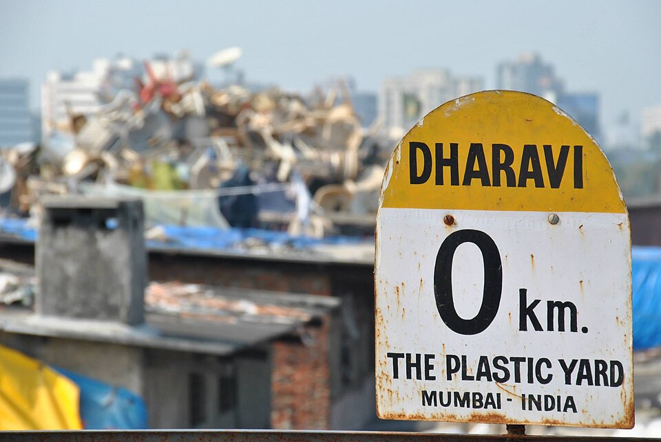
Fast and unplanned growth has created serious problems. Many cities have large slums, with crowded housing, poor drinking water, open drains and little security of tenure. Traffic congestion, air and water pollution, solid waste, flooding during heavy rain and shortage of water are common.
Urban problems and responses
Governments have responded with programmes for urban housing, water supply, sanitation, public transport and smarter city management. Planners also stress balanced urban growth, developing small and medium towns so that migrants are not forced into a few overcrowded metropolises.
Good cities also need strong local government. The 74th Constitutional Amendment of 1992 gave constitutional status to municipalities and listed the functions they may perform, such as urban planning, water supply and slum improvement. In practice, many urban bodies still lack enough funds, staff and powers, which limits their ability to manage fast growth.
Why it matters. India's future growth will be largely urban. How well cities are planned will shape jobs, health, climate goals and quality of life for crores of people.
Exam-style questions on this chapter. Pick an answer to see the explanation. 0 of 11 answered
With reference to the Census definition of a census town, consider the following statements:
1. It must have a population of at least 5,000.
2. At least 75 per cent of all workers, male and female, must be in non-agricultural work.
Which of the statements given above is/are correct?
Local names such as panna, para, palli, nagla and dhani refer to which type of rural settlement?
Dispersed rural settlements are typical of:
Which of the following is a post-independence planned industrial town?
How many million-plus urban agglomerations did India have in Census 2011?
Match the town with its main function:
A. Mhow — 1. Religious
B. Puri — 2. Garrison
C. Itarsi — 3. Transport
Which of the following is the correct match?
The term "megalopolis" was first used for the urban corridor between:
Which of the following towns was developed by the British as a major port city?
A settlement that stretches along a road, river or coast is called:
Match the principle in Christaller's central place theory with its K value:
A. Marketing — 1. K=7
B. Transport — 2. K=3
C. Administration — 3. K=4
Which of the following is the correct match?
Consider the following statements:
1. Under the rank-size rule, the third-largest city has about one third of the population of the largest city.
2. A primate city is one that is smaller than the second-ranked city.
Which of the statements given above is/are correct?
Previous year questions
Previous year questions for UPSC CSE will appear here once each one is checked word for word against the official question paper.
Frequently asked questions
Where are clustered settlements found in India?
In the fertile northern plains and parts of the north-east, where farming land is good and people live close together for safety and shared work.
What is a census town?
A place without a municipal body that still meets the Census tests of population, density and non-farm male work, so it is counted as urban.
What is a million-plus city?
A city with a population of one million or more. Census 2011 counted 53 million-plus urban agglomerations in India.
Why are dispersed settlements found in hilly areas?
Rugged land, scattered patches of farmland and forests keep homes far apart, as in parts of Meghalaya, Uttarakhand and Himachal Pradesh.