

UKPSC Lower PCS · Module 13 · standard depth · 15 min
Earthquakes, tsunamis and disaster management
What UKPSC Lower PCS asks from this chapter
Syllabus lines this chapter covers:
- Prelims: General Studies (100) and General Aptitude Test (50) · Geography and Demography of India: broad understanding of geographical, ecological and socio-economic aspects and demography of India.
- Mains: General Studies Paper II · Geography and demography of India.
- Mains: General Studies Paper II · Geography, demography and disaster management of Uttarakhand.
2 UKPSC Lower PCS questions in our bank come from this module (India: climate, soils and natural hazards).
Cut to standard depth for UKPSC Lower PCS. 11 deeper paragraphs are in the full chapter.
Start from zero: the hazard that gives no warning
Floods give signs as rivers rise, and cyclones can be tracked by satellite for days. An earthquake gives no such warning. In a few seconds the ground shakes, buildings crack and fall, and a whole town can be flattened before anyone has time to run.
India has learnt this the hard way. Large earthquakes struck Bihar and Nepal in 1934, Uttarkashi in 1991, Latur in 1993 and Kutch (Bhuj) in Gujarat in 2001, and in 2004 an earthquake far away under the sea sent a tsunami onto India's southern coasts. Each disaster killed thousands and changed how India prepares.
There is a simple but important lesson in these events. Earthquakes themselves rarely kill people; collapsing buildings do. That is why earthquake safety depends so much on how we build.
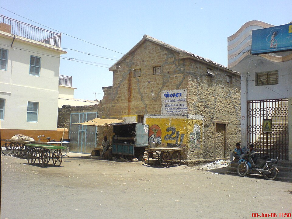
Disasters like these also changed India's thinking about disaster management as a whole. Earlier, the government mainly sent relief after a disaster. Today the aim is to reduce risk before it strikes, through planning, safe buildings, warnings and trained response teams.
Why it matters. Most of India's land area is exposed to earthquakes, and its southern and eastern coasts face tsunamis and cyclones. Rapid growth of cities with tall, crowded buildings raises the stakes every year. Understanding where and why these hazards strike, and how India is organised to manage them, is central to both geography and governance.
What happens in an earthquake?
The outer shell of the earth is made of huge slabs of rock called plates, which move very slowly, a few centimetres a year. Where plates push against or slide past each other, the rocks are squeezed and bent, and stress builds up over many years. When the stress becomes greater than the strength of the rocks, they break and slip suddenly along a crack called a fault.
This sudden slip releases a great amount of energy, which spreads out in all directions as seismic waves. The point inside the earth where the break starts is called the focus or hypocentre. The point on the surface directly above it is the epicentre, and the shaking is usually strongest near it.
Scientists describe an earthquake in two different ways. Magnitude measures the energy released at the source, and it is one number for each earthquake. The scale works so that each step of one whole number means roughly 32 times more energy, so a magnitude 7 earthquake releases about a thousand times more energy than a magnitude 5.
Intensity, on the other hand, measures how strongly the shaking is felt and how much damage it causes at a particular place. It is judged on scales such as the Modified Mercalli scale, from barely felt to total destruction. One earthquake therefore has one magnitude but many intensities, which are high near the epicentre and lower far away.
Intensity also depends on local conditions. Loose, soft soil and filled land shake much more than solid rock, and a shallow focus causes more damage than a deep one. Poorly built structures add to the damage.
Why it matters. Knowing the difference between magnitude and intensity explains why two earthquakes of the same size can cause very different damage. It also shows why planners map soil conditions and enforce building rules, since these change intensity even when magnitude cannot be controlled. Exams often test this difference directly.
Where India shakes: seismic zones
India sits on the Indian plate, which is moving north and pushing into the Eurasian plate. This collision raised the Himalaya, and it is still going on. Stress keeps building along the Himalayan belt, which is why the Himalaya and the north-east are among the most earthquake-prone regions in the world.
To guide safe construction, the Bureau of Indian Standards publishes a seismic zone map in its earthquake design code, IS 1893. In the 2016 edition of this code, India is divided into four zones: II, III, IV and V. Zone II faces the lowest hazard and Zone V the highest, and buildings in higher zones must be designed for stronger shaking.
Zone V covers the north-eastern states, parts of the western and central Himalaya in Jammu and Kashmir, Himachal Pradesh and Uttarakhand, the Kutch region of Gujarat, parts of north Bihar and the Andaman and Nicobar Islands. Most of the Ganga plain and the Himalayan foothills lie in Zone IV. Much of the peninsula lies in Zones II and III.
Overall, about 59% of India's land area is prone to earthquakes of moderate to very high intensity. The Kutch earthquake of 2001 at Bhuj showed that the western edge of the plate is also very active.
The old, stable peninsular plateau was long thought to be safe, but it is not free of earthquakes. The Latur earthquake of 1993 in Maharashtra struck a region once placed in a low-hazard zone, and it led to revision of the zone map. The Koyna earthquake of 1967 has been linked to the filling of the Koyna reservoir, which shows that large dams can sometimes trigger quakes.
Why it matters. The zone map decides how strongly buildings, bridges and dams must be built in each region. Many large cities, including Delhi, lie in Zones IV and V, where crowded and weak buildings put millions at risk. The map is revised as new evidence comes in, so planners must always use the latest edition.
Tsunamis: when the sea floor moves
When a large earthquake happens under the sea, it can suddenly lift or drop a huge area of the sea floor. The water above it is pushed up or pulled down, and this disturbance spreads out as a series of very long waves called a tsunami, a Japanese word meaning "harbour wave". Undersea landslides and volcanic eruptions can also cause tsunamis, but earthquakes cause most of them.
In the deep ocean, a tsunami is hard to notice. The waves may be less than a metre high, but they are hundreds of kilometres long and travel as fast as a jet plane. Ships at sea may not even feel them pass.
As the waves reach shallow water near the coast, they slow down, and the water piles up into walls that can be many metres high. Often the sea first pulls back far from the beach, exposing the sea floor, and this is a natural warning that a wave is coming. The waves then rush far inland, and several waves may follow over hours.
On 26 December 2004, a great earthquake off Sumatra in Indonesia sent a tsunami across the Indian Ocean. It struck the coasts of Tamil Nadu, Andhra Pradesh, Kerala and Puducherry, and the Andaman and Nicobar Islands were hit hardest, killing thousands of people in India alone. At that time India had no tsunami warning system.
After this disaster, India set up the Indian Tsunami Early Warning Centre at INCOIS (Indian National Centre for Ocean Information Services) in Hyderabad. It watches for undersea earthquakes and changes in sea level and can warn coastal areas within minutes. It also serves other countries around the Indian Ocean.
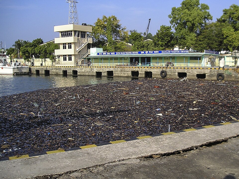
Why it matters. Tsunamis are rare, but when they strike they can wipe out entire coastal communities in minutes. Warning systems only work if the warning reaches every village and people know where to go, so drills and community awareness are as important as technology. Coastal mangroves and dunes also reduce the force of the waves.
How India manages disasters
For a long time, disaster management in India meant relief: food, shelter and money sent after a disaster had struck. The Odisha super cyclone of 1999, the Bhuj earthquake of 2001 and the tsunami of 2004 showed that this was not enough. India needed a system that reduced risk before disasters and organised response quickly when they happened.
The result was the Disaster Management Act, 2005. It set up a three-level structure. At the top is the National Disaster Management Authority (NDMA), chaired by the Prime Minister, which lays down national policies and plans.
Each state has a State Disaster Management Authority (SDMA) chaired by the Chief Minister. Each district has a District Disaster Management Authority (DDMA), headed by the District Collector or District Magistrate, which turns plans into action on the ground. The district is often the most important level, because it is closest to the people affected.
The Act also created the National Disaster Response Force (NDRF), a specialised force trained for search, rescue and relief in floods, cyclones, earthquakes and building collapses. The National Institute of Disaster Management trains officials and does research. Many states have set up their own response forces as well.
India released its first National Disaster Management Plan in 2016. It is aligned with the Sendai Framework for Disaster Risk Reduction 2015–2030, a global agreement that sets targets to reduce disaster deaths, the number of people affected and economic losses. The framework stresses understanding risk, strong institutions, investment in resilience and "building back better" after disasters.
Disaster management is now seen as a cycle of four stages. Mitigation reduces long-term risk, for example through safe building codes and land-use planning, and preparedness includes warnings, drills and stockpiles. Response covers rescue and relief right after the event, and recovery means rebuilding homes and livelihoods, ideally in a safer way than before.
Why it matters. A clear legal structure means everyone knows who is in charge when disaster strikes, from the Prime Minister to the district officer. India's success in cutting cyclone deaths shows that preparation works. The weak spots remain enforcement of building codes, urban planning and funding at the district level.
Building safely: living in an earthquake country
Since earthquakes cannot be predicted, the best defence is to build structures that can shake without collapsing. Engineers design buildings according to the seismic zone in which they stand, using the earthquake codes of the Bureau of Indian Standards. In higher zones, the design must allow for stronger forces.
Safe design does not always mean expensive design. Simple steps help a great deal: tying walls, floors and roof together with reinforced bands, using enough steel in columns and beams and detailing it correctly, avoiding heavy roofs on weak walls, and keeping building shapes simple and regular. Traditional houses in some hill regions, built with wood frames and stone, have survived strong quakes because they could flex.
The biggest problem is that many buildings in India, especially in growing towns, are built without following these codes. Extra floors added later, weak ground floors left open for parking, and poor-quality materials make buildings dangerous. Older buildings, including schools and hospitals, often need retrofitting, which means strengthening them so that they can resist earthquakes.
Preparedness also matters. Schools and offices can hold earthquake drills so that people know to "drop, cover and hold on" and where to gather afterwards. Hospitals, fire services and the NDRF need plans to reach people trapped under rubble within the first few hours, when most survivors are found.
Why it matters. India's cities are growing fast, and much of this growth is in high seismic zones. Every unsafe building put up today is a risk for decades. Enforcing building codes, retrofitting key public buildings and training people are the most cost-effective ways to save lives in the next big earthquake.
Quick revision
- An earthquake starts at the focus (hypocentre) inside the earth; the point above it on the surface is the epicentre.
- Magnitude is the energy released (one number per quake, each step about 32 times more energy); intensity is the shaking and damage at a place (Modified Mercalli).
- India's quakes come mainly from the Indian plate pushing into the Eurasian plate.
- IS 1893 (2016) has four zones, II to V; Zone V covers the north-east, parts of the Himalaya, Kutch, north Bihar and the Andaman and Nicobar Islands.
- About 59% of India's land is earthquake-prone; Latur 1993 and Koyna 1967 show that the peninsula is not safe.
- The 2004 tsunami came from a quake off Sumatra; India then set up the tsunami warning centre at INCOIS, Hyderabad.
- The DM Act 2005 created NDMA (PM), SDMA (CM), DDMA (Collector), the NDRF and NIDM; the first National Plan came in 2016, aligned with Sendai 2015–2030.
- The disaster cycle is mitigation, preparedness, response, recovery; buildings, not quakes, cause most deaths.