

UKPSC PCS (Upper) · Module 12 · Mains depth · 16 min
Reorganisation of states
What UKPSC PCS (Upper) asks from this chapter
Syllabus lines this chapter covers:
- Prelims Paper I: General Studies · First War of Independence (1857), tribal, caste and peasant movements, growth of nationalism and the Indian National Movement up to the Indian Independence Act (1947), Partition and India after Independence.
- Mains Paper 3: General Studies I (heritage, culture, history, geography, society) · Post – independence consolidation and reorganization within the country.
1 UKPSC PCS (Upper) questions in our bank come from this module (India after independence (1947–1977)).
Read at full depth: basics, the standard layer and the Mains analysis.
Start from zero: drawing lines that people can live with
Imagine a school that grew in a hurry. Classes were formed by whichever rooms were free, so one section has students speaking five different languages, while children who share a language sit in three different buildings. Teachers struggle, notices must be printed in many scripts, and parents cannot follow what is going on. Sooner or later the school has to reorganise its sections.
India's map in 1947 was a little like that school. The British had drawn provinces for their own convenience, as their conquests grew. Then the integration of the princely states, explained in the previous chapter, added hundreds of new pieces. The result was a map whose lines often cut through people who shared a language, a culture and a way of life.
Changing state boundaries is not a small matter. It decides the language of the courts and offices, the medium of schools, and who gets elected. It can also stir strong emotions, because people feel their identity is at stake. This chapter explains how India redrew its internal map, especially in 1953 and 1956, and what it learned.
Keep one question in mind as you read. Why did India reorganise its states on the basis of language, and did it weaken or strengthen national unity?
Key events at a glance
This table lists the main steps from 1953 to 1973. Each is explained in the sections below.
| When | What happened | Why it matters |
|---|---|---|
| 1 October 1953 | Andhra State formed under the Andhra State Act, 1953 | A new state is carved out of Madras. |
| 24 December 1955 | Fifth Amendment recasts the proviso to Article 3 | States get a fixed chance to give their views. |
| 1 November 1956 | States Reorganisation Act and Seventh Amendment take effect | The map is redrawn along linguistic lines; Part A/B classes end. |
| 1 May 1960 | Gujarat and Maharashtra formed | Bombay State is divided. |
| 1 November 1966 | Haryana formed; Chandigarh a Union territory | Punjab is reorganised. |
| 14 January 1969 | Madras renamed Tamil Nadu | Names follow identity. |
| 1 November 1973 | Mysore renamed Karnataka | Another state takes a people's name. |
Notice the rhythm of these dates. A big redrawing in 1956 was followed by smaller corrections in 1960 and 1966, and then by changes of name.
Why the old map had to change
The British drew provincial boundaries to suit conquest and administration, not the wishes of the people. A province such as Madras or Bombay held people who spoke several major languages. At the same time, speakers of one language were often split between a British province and one or more princely states.
The integration of the princely states made the map even more mixed. The joined states were placed in different classes, called Part A, Part B and Part C States, with different rules for each. This was a temporary arrangement, and everyone knew it. New states had to be created, which is one reason why the Constitution makers wanted a strong Centre with the power to redraw boundaries.
Why language: Think about how a citizen meets the government. He reads notices, files petitions, attends court and sends children to school. If all this happens in his own language, democracy feels close; if not, it feels distant. So a state built around one language makes government easier to reach and to hold to account.
Why the hesitation: In the years just after Partition, many leaders feared that drawing lines by language might encourage people to think of themselves first as Telugu, Marathi or Punjabi and only then as Indian. A country that had just been divided on religious lines was cautious about any new division. This tension between the democratic case for language and the fear for unity runs through the whole story.
The first step: Andhra State, 1953
The first big change came in the south. Parliament passed the Andhra State Act, 1953, which is Act No. 30 of 1953.
It received assent on 14 September 1953, and the new State of Andhra came into being on 1 October 1953. It was classed as a Part A State.
What went into Andhra: The Act listed eleven districts taken from Madras: Srikakulam, Visakhapatnam, East Godavari, West Godavari, Krishna, Guntur, Nellore, Kurnool, Anantapur, Cuddapah and Chittoor. It also added three taluks of Bellary district, namely Alur, Adoni and Rayadrug. The rest of Bellary was added to Mysore as a separate Bellary district.
Why Bellary matters: The Bellary details show that drawing a line by language is not neat. A single district could contain areas that looked towards different neighbours, so it had to be split taluk by taluk. Exams sometimes use such details to test whether you know the Act or only the headline.
What the Act left open: The Act provided for a separate High Court for Andhra and left the seat of the court to be fixed by the Governor. It did not touch the neighbouring districts of Hyderabad State. That question was answered three years later by the larger reorganisation of 1956.
The constitutional tools: Articles 3 and 4
How can a country redraw its states so many times without rewriting its Constitution each time? The answer lies in Articles 3 and 4. Under Article 3, Parliament can by law form a new State, increase or reduce the area of a State, alter its boundaries and change its name. Under Article 4, such a law also updates the Schedules and is not treated as an amendment of the Constitution under Article 368.
This means a simple majority in Parliament is enough to redraw the map. That is a deliberate choice. The makers of the Constitution knew that the map of 1950 was not final, so they kept the tools flexible. You can study these Articles in detail in the chapter on the Union and its territory.
The safeguard of 1955: A flexible power also needs a check. The Fifth Amendment, in force from 24 December 1955, recast the proviso to Article 3. Such a Bill needs the President's recommendation, and if it affects a State's area, boundaries or name, the President must first refer it to that State's Legislature for its views within a set period.
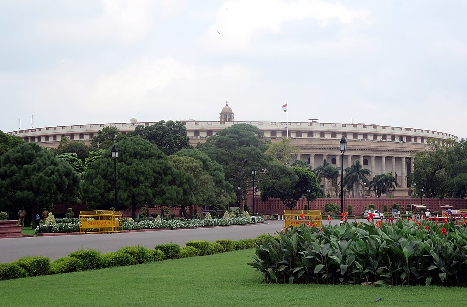
Views, not consent: The State's Legislature is asked for its views, but Parliament is not bound by them. This keeps the final decision with Parliament, so that one State cannot block a change that the nation needs. At the same time, the State's voice is heard and recorded, which matters in a democracy.
The big redrawing: the States Reorganisation Act, 1956
The largest single change came with the States Reorganisation Act, 1956, Act No. 37 of 1956. It received assent on 31 August 1956 and took effect from the appointed day, 1 November 1956.
The reorganisation of 1956 was carried out along linguistic boundaries. On the same day the Seventh Amendment replaced the whole First Schedule and ended the old Part A and Part B classes.
Andhra Pradesh: The Act transferred Hyderabad, Medak, Nizamabad, Karimnagar, Warangal, Khammam, Nalgonda, Mahbubnagar and other areas of Hyderabad State to Andhra. It then declared that the State of Andhra would be known as Andhra Pradesh. So the Andhra of 1953 grew into the larger Andhra Pradesh of 1956.
Kerala and the south: Part of Travancore-Cochin was transferred to Madras, where a Kanya Kumari district was formed. A new State of Kerala was formed. A new Mysore State was also formed, and the Laccadive, Minicoy and Amindivi Islands were made a Union territory.
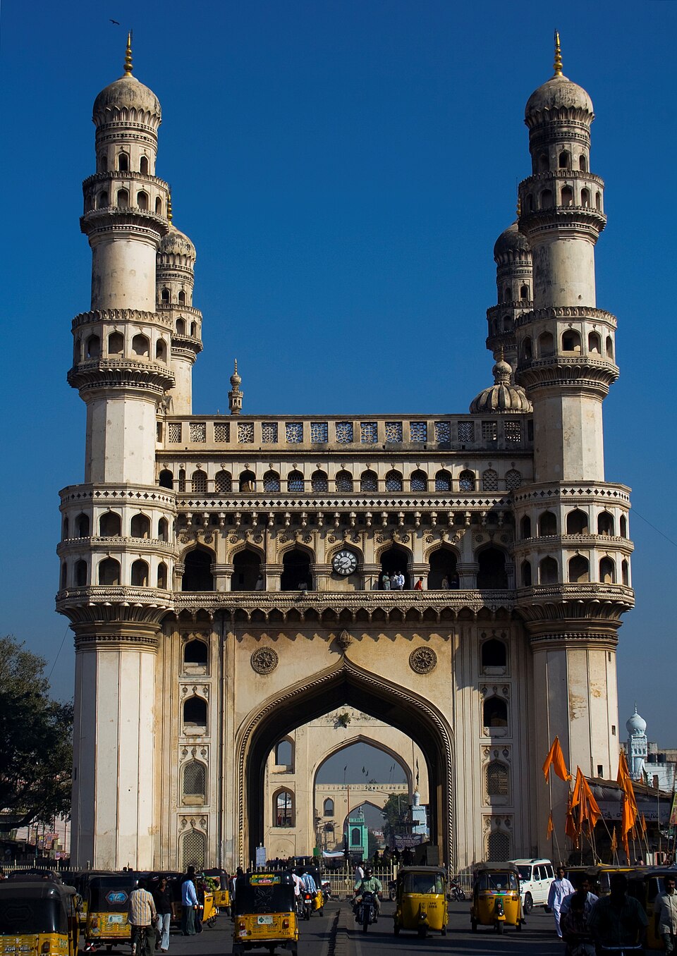
The rest of the country: The Act also formed a new Bombay State, a new Madhya Pradesh, a new Rajasthan and a new Punjab. Each "new" here means that the old unit was enlarged or reshaped by adding or removing territory. When you read "new Mysore" or "new Bombay", think of a reshaped state, not a brand-new name.
Zonal Councils: The Act also looked beyond boundaries. It set up a Zonal Council for each of five zones: Northern, Central, Eastern, Western and Southern. The idea was that states sharing a region would have a common table, so that the new lines on the map did not become walls between neighbours.
After 1956: corrections and new names
The 1956 map was not the last word. Some states created in 1956 still held large groups who wanted their own state. Over the next years Parliament used Article 3 again and again. The pattern shows a democracy that adjusts rather than a map frozen in one year.
Bombay divided, 1960: The new Bombay State of 1956 did not last long. The Bombay Reorganisation Act, 1960 created two states, Gujarat and Maharashtra, from 1 May 1960.
Punjab reorganised, 1966: The Punjab Reorganisation Act, 1966 created Haryana from 1 November 1966. Chandigarh was made a Union territory at the same time. These two cases show that the work of 1956 needed later corrections.
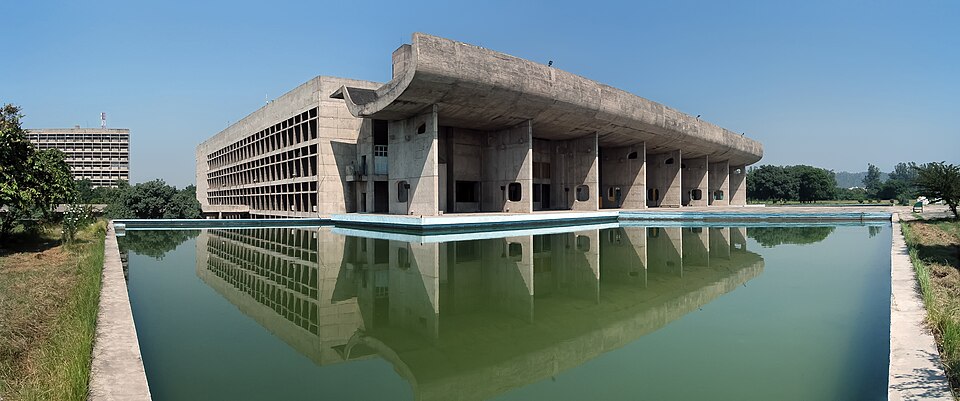
New names: Some changes were only of name, but they mattered to identity. Madras was renamed Tamil Nadu from 14 January 1969, and Mysore became Karnataka from 1 November 1973. In both cases the new name reflected the people and their language.
The long view: The same tools were used much later, for reasons that were not only linguistic. Chhattisgarh, Uttarakhand and Jharkhand were created in November 2000, and Telangana on 2 June 2014. Each time Parliament passed an ordinary law, and the Union stayed intact.
Mains lens: did linguistic states weaken or strengthen unity?
The fear: In the early 1950s the fear was real. India had just been partitioned, and hundreds of princely states had only just been joined. Leaders worried that states built on language would breed regional loyalties strong enough to pull against the nation. A good answer states this fear fairly before judging it.
What actually happened: The reorganisation of 1956 did not break the country. Instead, it removed a major source of grievance, because people could now deal with their government in their own language. The Union stayed intact, and later changes in 1960, 1966 and after were made through Parliament, not through rebellion. This suggests that meeting a reasonable demand can strengthen loyalty to the whole.
Federal design at work: The story also shows how the Constitution's design works in practice. Parliament has the power to redraw states by ordinary law, while the States get a voice through the proviso to Article 3. The Zonal Councils of 1956 added a forum for neighbouring states. In this way flexibility at the level of states sits alongside a fixed Union.
Limits and open questions: Language was not the only factor, and it did not settle everything. Bombay had to be divided again in 1960 and Punjab in 1966, and the states created in 2000 and 2014 rested on other grounds as well. Disputes between neighbouring states over borders also arose later. A balanced answer notes these limits while concluding that the overall result helped unity.
A useful conclusion: You can end with a simple idea: unity in India has worked best not by suppressing diversity but by giving it a place inside the Union. The reorganisation of states is one of the clearest examples of this approach.
Mains practice: reorganisation of states
| Angle | Question | Key points to cover |
|---|---|---|
| Unity | "The linguistic reorganisation of states strengthened rather than weakened Indian unity." Critically examine. | Early fears after Partition; Andhra 1953; 1956 Act on linguistic lines; Zonal Councils; later corrections 1960, 1966; border disputes; balanced conclusion. |
| Constitution | How do Articles 3 and 4 make the Indian federation flexible? Illustrate with examples from 1953 to 1973. | Ordinary law, not Article 368; Fifth Amendment proviso (views, not consent); Andhra 1953; 1956 Act; Gujarat and Maharashtra 1960; Haryana 1966; Tamil Nadu and Karnataka names. |
| Governance | Why does the language of administration matter for democracy? Discuss with reference to the reorganisation of 1956. | Citizen's contact with offices, courts, schools; accountability; colonial provinces mixed languages; 1956 linguistic boundaries; limits of the language principle. |
These are practice questions written by us, not past papers. Past questions from your exam appear in the PYQ panel.
How to use this table: each answer should explain the what, then the why, and end with what it led to.
Quick revision
- Andhra State Act, 1953 (Act 30): assent 14 September 1953; Andhra formed 1 October 1953 (Part A State).
- Andhra = 11 districts of Madras + Alur, Adoni, Rayadrug taluks of Bellary; rest of Bellary to Mysore.
- Articles 3 and 4: Parliament redraws states by ordinary law, not an Article 368 amendment.
- Fifth Amendment (24 December 1955): Article 3 proviso; President refers the Bill to the State for views within a set period.
- States Reorganisation Act, 1956 (Act 37): assent 31 August 1956; in force 1 November 1956; linguistic boundaries.
- Hyderabad State's districts such as Warangal, Nalgonda, Khammam join Andhra; Andhra renamed Andhra Pradesh.
- Kerala formed; Kanya Kumari to Madras; new Mysore, Bombay, MP, Rajasthan, Punjab; Laccadive, Minicoy, Amindivi a UT.
- Five Zonal Councils: Northern, Central, Eastern, Western, Southern.
- Seventh Amendment (1 November 1956): Part A and Part B classes ended.
- 1 May 1960 Gujarat and Maharashtra; 1 November 1966 Haryana and UT Chandigarh.
- Names: Tamil Nadu (14 January 1969); Karnataka (1 November 1973).